
Loading…
Showing single-unit prices from shops that sell to the public.
Beautifully illustrated wall map for inquisitive kids Colourful Illustrated Map of the World This bestselling, highly illustrated pictorial map is designed to take children on a journey of discovery around the countries of the world. The mapping is up-to-date, colourful and highly informative and shows countries and capital cities. Stunning illustrations are used to depict themes such as national emblems, customs, food, birds, animals, buildings and sports to help younger readers gain an understanding of the world. Dimensions 610 X 915 mm / 24 x 36 inches Illustrated by Steve Evans. Now with barcode removed due to popular demand from our customers.
Sold by Mukana Direct
Pay cash on delivery.
This listing quotes in US dollars. That is the binding price. Rate set 31 Oct.
Supplied for 230V outlets, the same as Zimbabwe. If it plugs into a wall socket, it may need a plug adapter.
Orders now, fulfilled from Wed 4 Nov — this item cannot be delivered before then.
This item is sold by
No reviews on Mukana Hub yet.
Nobody has reviewed this item on Mukana Hub. That is not a mark against it — most listings here are new. The shop's own rating, on its page, covers everything else it sells.
Stock from the same shop — all on one order and one delivery.
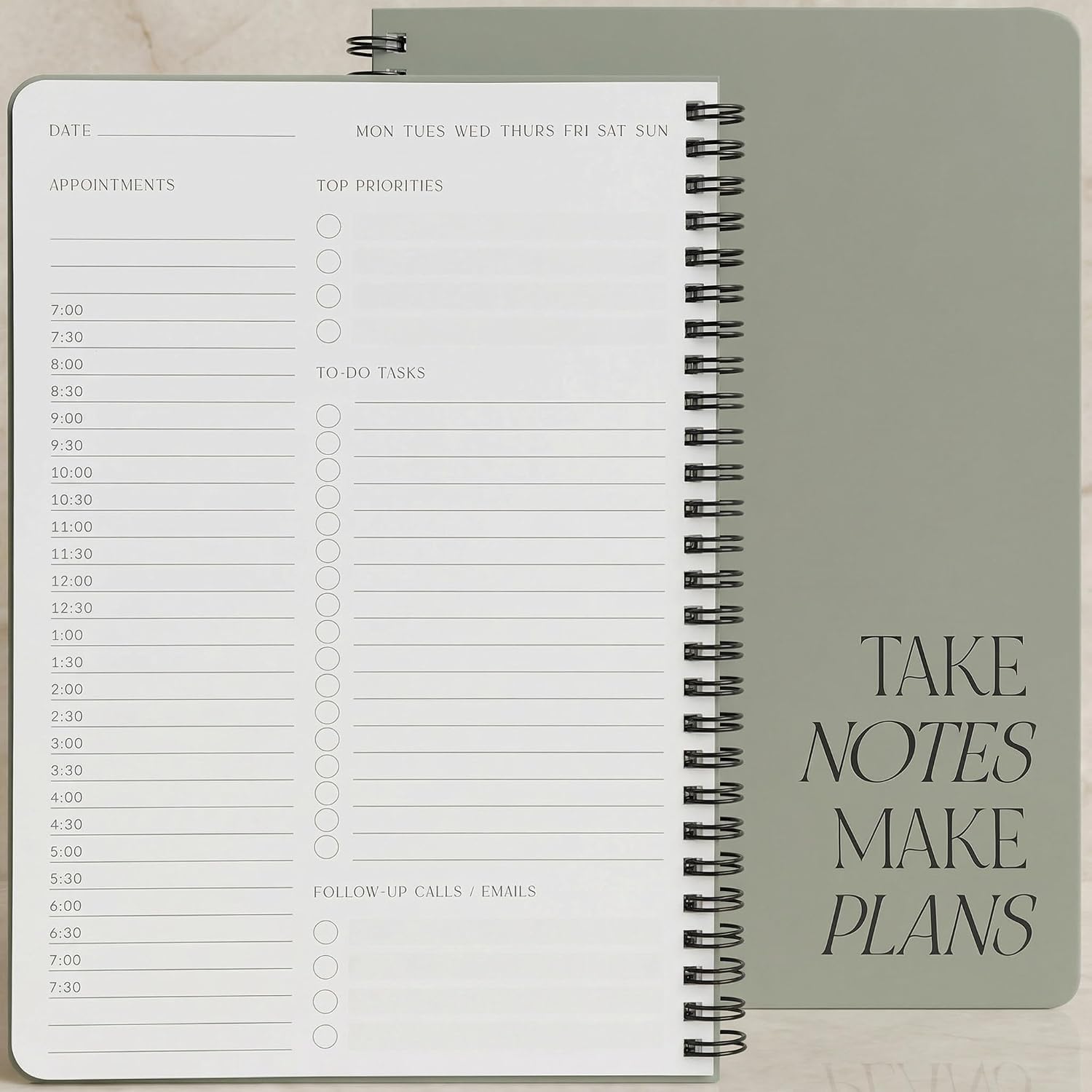 Simplified Daily Planner And Notebook With Hourly Schedule$5.99
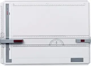 Rotring S0213750 Profil Drawing Board,White,A3$117.99
 Annual Diary 2027$7.99
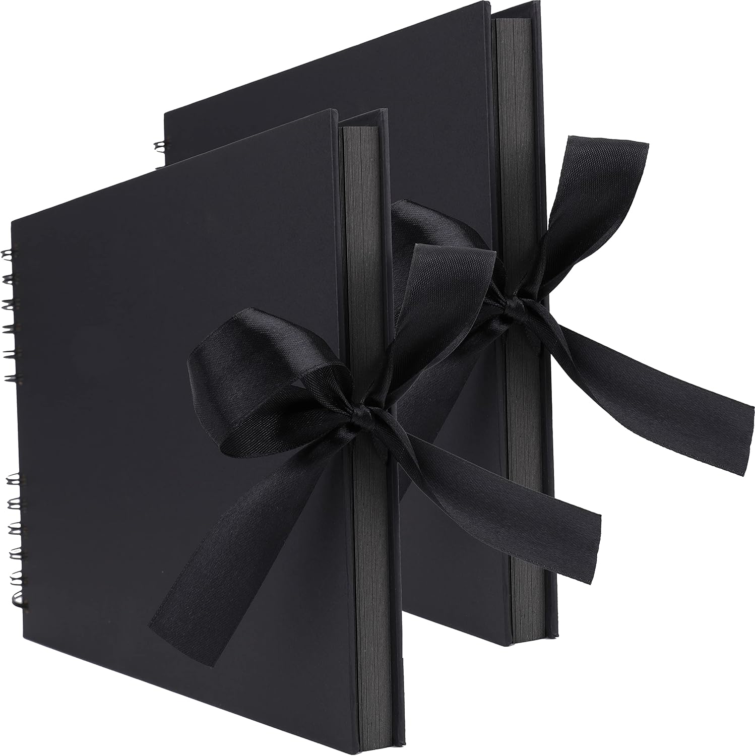 Tosnail 2 Pack 80 Pages Scrapbook Album, Photo Album Memory Book, Total 160 Pages - Black$18.99
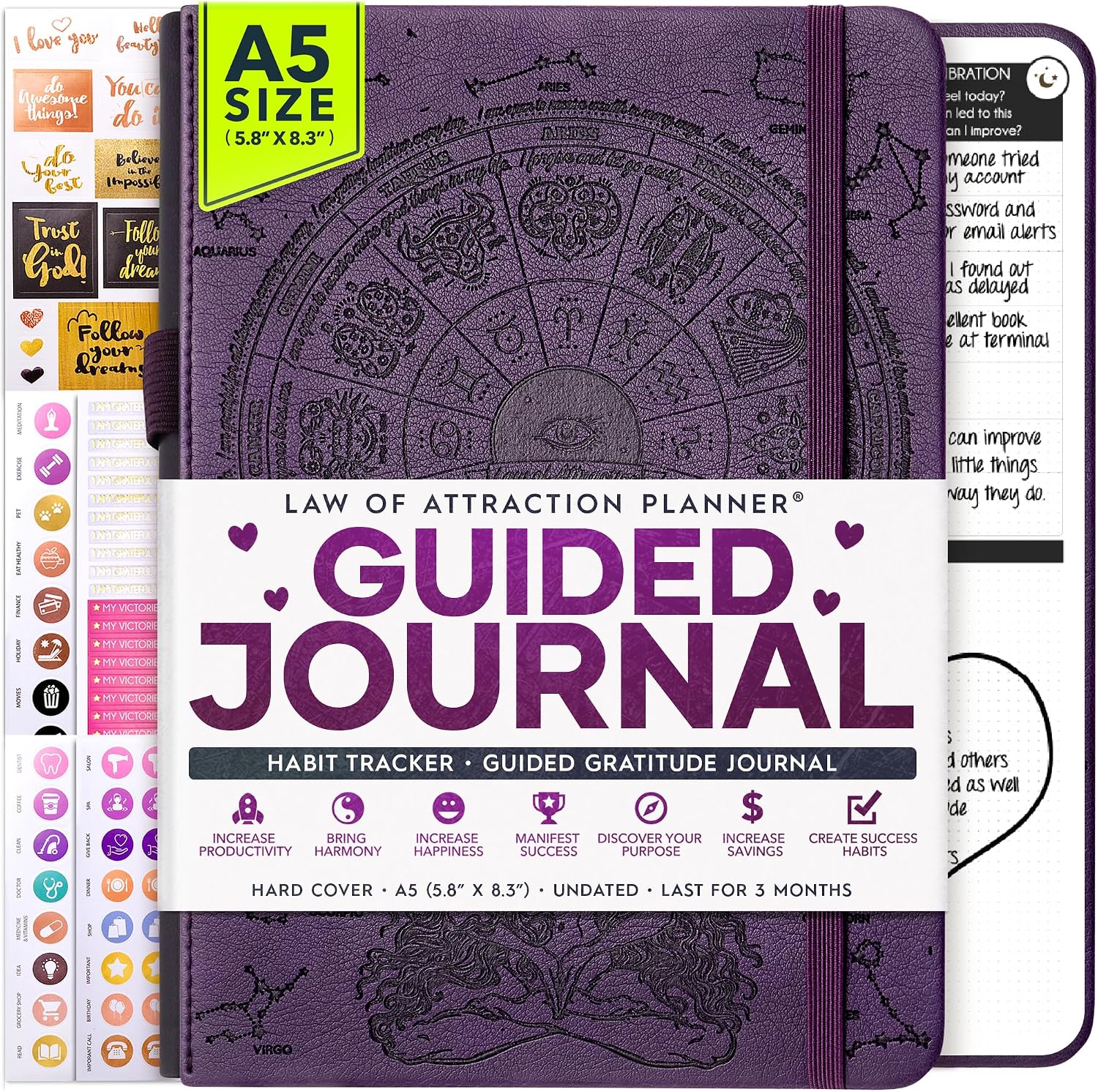 Freedom Mastery Daily Journal of Gratitude, Productivity & Habit Tracker$108.99
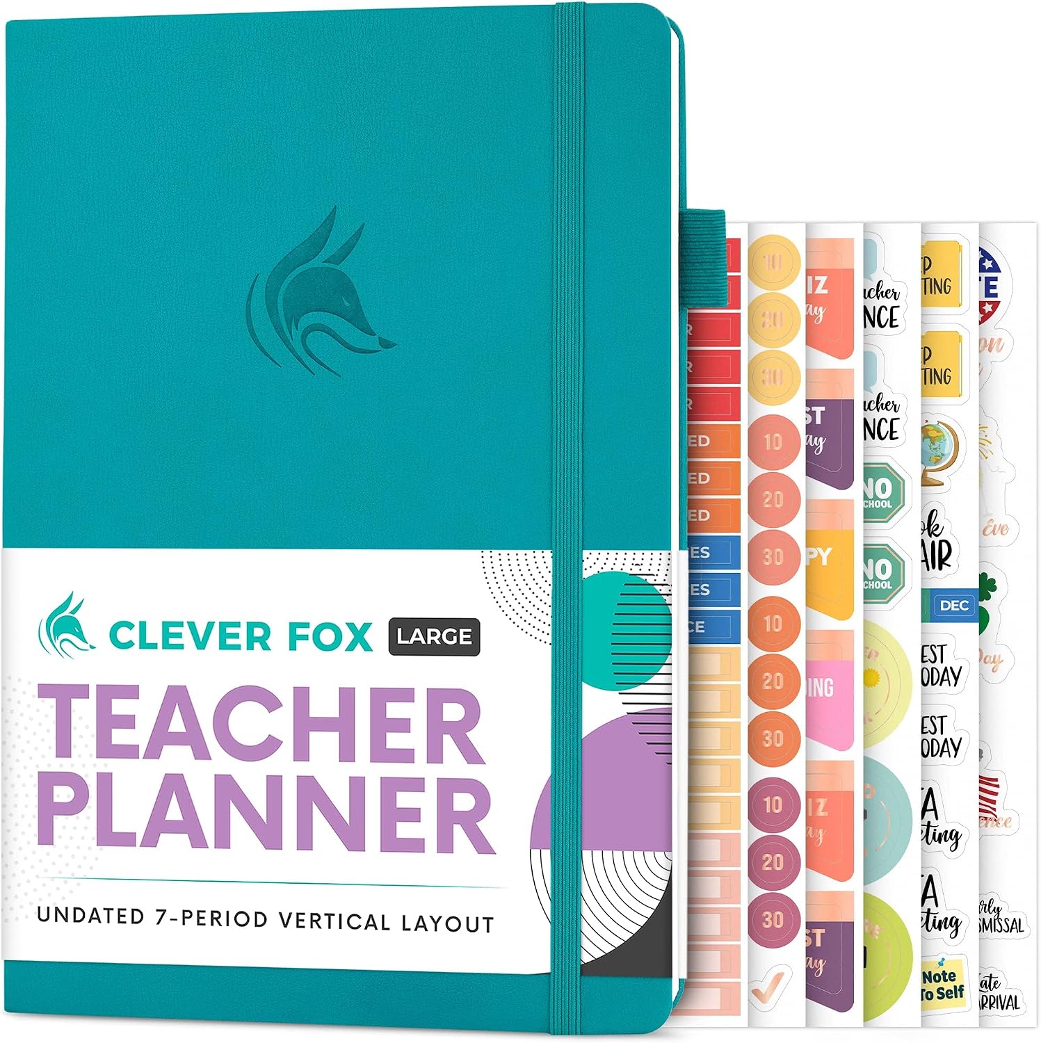 Clever Fox Teacher Planner$32.99
Similar Books from other shops on Mukana Hub.
 ESV Compact Bible, Paperback, Pink$8.99Mukana Mall
 NLT Standard Bible, Hardcover, Pink$15.99Mukana Mall
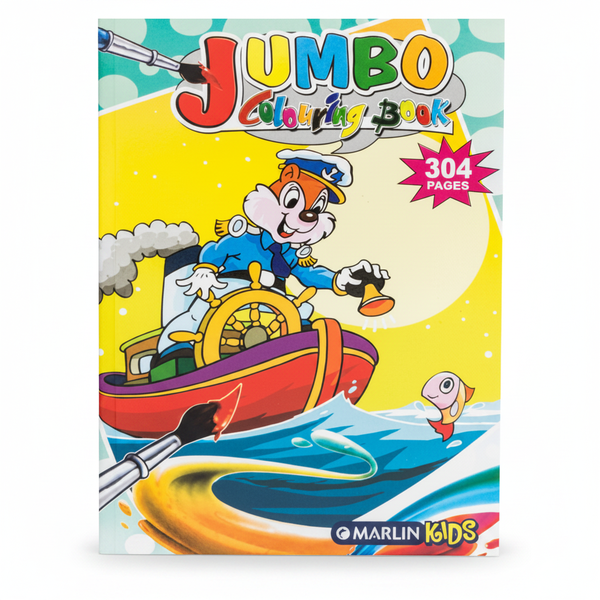 Marlin Kids Jumbo Colouring Book - 304 Pages of Fun Illustrations$10.99Mukana Mall
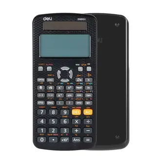 Deli Scientific Calculator 552Function - Textbook Display Black$37.99Mukana Mall
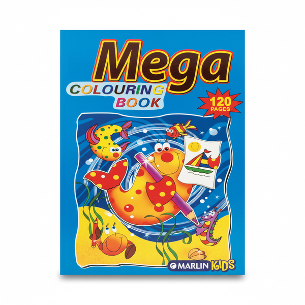 Marlin Kids 120 Page Colouring Book for Ages 3 and Up$10.99Mukana Mall
Nothing is charged on Mukana Hub. MukanaHub confirms stock, arranges payment and delivers, and your browser keeps an order copy.
No shop warranty stated. Statutory rights still apply — see Terms.
No shop policy stated. 7-day cancellation and 6-month defective-goods rights still apply — see Terms.